Targeting Revisits Maps: New version available
Primary image caption
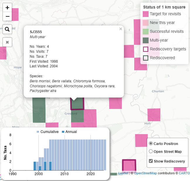
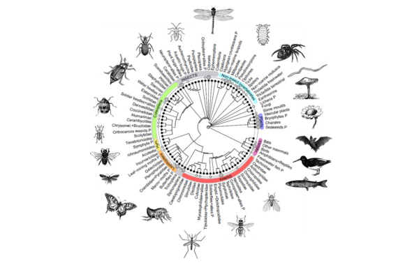
This soldierfly example shows a site that was visited in 4 years, with 7 species recorded in total. But it hasn’t had records for nearly 20 years. What species could be ‘rediscovered’? Records from sites like this are valuable for tracking changes.
Primary image